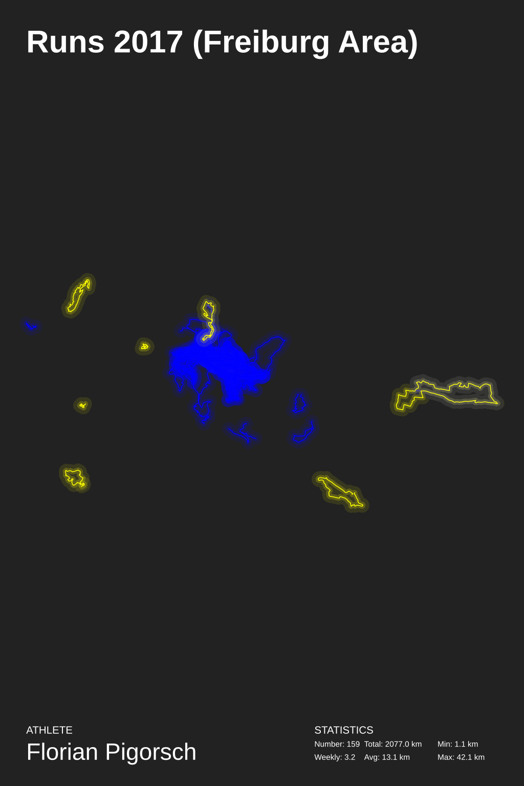
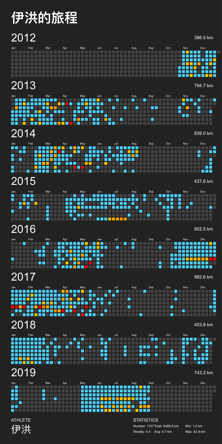
Create a visually appealing poster from your GPX tracks - heavily inspired by https://www.instagram.com/p/Behppx9HCfx/
Usage
First of all, you need directory with a bunch of GPX files (e.g. you can export all your tracks from Garmin Connect with the excellent tool garmin-connect-export, or use StravaExportToGPX, or use runtastic, or use nrc-exporter to convert the activities in a Strava or Runtastic or Nike Run Club export zip file to GPX or GPX files).
You will need a little experience running things from the command line to use this script. That said, here are the usage details from the --help flag:
Get data from strava is ok now:
create_poster --from-strava strava.json --year 2020 --title "Running" \
    --athlete "Florian Pigorsch" --special 4110886680(strava id)
Only you need is change the strava config How to get strava config
usage: create_poster [-h] [--gpx-dir DIR] [--output FILE]
                     [--language LANGUAGE] [--localedir DIR] [--year YEAR]
                     [--title TITLE] [--athlete NAME] [--special FILE]
                     [--type TYPE] [--background-color COLOR]
                     [--track-color COLOR] [--track-color2 COLOR]
                     [--text-color COLOR] [--special-color COLOR]
                     [--special-color2 COLOR] [--units UNITS] [--clear-cache]
                     [--workers NUMBER_OF_WORKERS] [--from-strava FILE]
                     [--verbose] [--logfile FILE]
                     [--special-distance DISTANCE]
                     [--special-distance2 DISTANCE] [--min-distance DISTANCE]
                     [--activity-type ACTIVITY_TYPE] [--with-animation]
                     [--animation-time ANIMATION_TIME]
                     [--heatmap-center LAT,LNG] [--heatmap-radius RADIUS_KM]
                     [--heatmap-line-transparency-width TRANSP_1,WIDTH_1, TRANSP_2,WIDTH_2, TRANSP_3,WIDTH_3]
                     [--circular-rings] [--circular-ring-color COLOR]
                     [--circular-ring-max-distance DISTANCE KM]

optional arguments:
  -h, --help            show this help message and exit
  --gpx-dir DIR         Directory containing GPX files (default: current
                        directory).
  --output FILE         Name of generated SVG image file (default:
                        "poster.svg").
  --language LANGUAGE   Language (default: english).
  --localedir DIR       The directory where the translation files can be found
                        (default: the system's locale directory).
  --year YEAR           Filter tracks by year; "NUM", "NUM-NUM", "all"
                        (default: all years)
  --title TITLE         Title to display.
  --athlete NAME        Athlete name to display (default: "John Doe").
  --special FILE        Mark track file from the GPX directory as special; use
                        multiple times to mark multiple tracks.
  --type TYPE           Type of poster to create (default: "grid", available:
                        "grid", "calendar", "heatmap", "circular", "github").
  --background-color COLOR
                        Background color of poster (default: "#222222").
  --track-color COLOR   Color of tracks (default: "#4DD2FF").
  --track-color2 COLOR  Secondary color of tracks (default: none).
  --text-color COLOR    Color of text (default: "#FFFFFF").
  --special-color COLOR
                        Special track color (default: "#FFFF00").
  --special-color2 COLOR
                        Secondary color of special tracks (default: none).
  --units UNITS         Distance units; "metric", "imperial" (default:
                        "metric").
  --clear-cache         Clear the track cache.
  --workers NUMBER_OF_WORKERS
                        Number of parallel track loading workers (default:
                        number of CPU cores)
  --from-strava FILE    JSON file containing config used to get activities
                        from strava
  --verbose             Verbose logging.
  --logfile FILE
  --special-distance DISTANCE
                        Special Distance1 by km and color with the
                        special_color
  --special-distance2 DISTANCE
                        Special Distance2 by km and color with the
                        special_color2
  --min-distance DISTANCE
                        min distance by km for track filter
  --activity-type ACTIVITY_TYPE, --activity ACTIVITY_TYPE
                        Filter tracks by activity type; e.g. 'running'
                        (default: all activity types)
  --with-animation      add animation to the poster
  --animation-time ANIMATION_TIME
                        animation duration (default: 30s)

Heatmap Type Options:
  --heatmap-center LAT,LNG
                        Center of the heatmap (default: automatic).
  --heatmap-radius RADIUS_KM
                        Scale the heatmap such that at least a circle with
                        radius=RADIUS_KM is visible (default: automatic).
  --heatmap-line-transparency-width TRANSP_1,WIDTH_1, TRANSP_2,WIDTH_2, TRANSP_3,WIDTH_3
                        Define three transparency and width tuples for the
                        heatmap lines or set it to `automatic` for automatic
                        calculation (default: 0.1,5.0, 0.2,2.0, 1.0,0.3).

Circular Type Options:
  --circular-rings      Draw distance rings.
  --circular-ring-color COLOR
                        Color of distance rings.
  --circular-ring-max-distance DISTANCE KM
                        Maximum distance for scaling the track length.
Example:
create_poster --from-strava strava.json --type circular
create_poster --type grid --gpx-dir "my-tracks" --language "de" --year 2015 --title "Running" \
    --athlete "Florian Pigorsch" --special race1.gpx --special race2.gpx --special race3.gpx

create_poster --type github --gpx-dir "my-tracks" --language "de" --title "Running" \
    --athlete "Florian Pigorsch" --special-distance 10 --special-distance2 10 --special-color yellow --special-color2 red
creates a nice poster (poster.svg) of the GPX tracks in the directory my-tracks (see above).
Selection of Tracks
create_poster tries to load all GPX files in the specified directory (option --gpx-dir).
To speed up subsequent executions of the script, successfully loaded GPX tracks are cached in an intermediate format that allows for fast loading; use the option --clear-cache to delete these files.
Tracks without time stamps and tracks recorded in the wrong year (option --year) are discarded.
Tracks shorter than 1km are discarded, too
If multiple tracks have been recorded within one hour, they are merged to a single track.
Filtering activities --from-strava FILE by activity_type
When using --from-strava FILE option,
you may specify optional activity_type to filter only certain type(s) of activity to load.
Note, activity_type filters activities only when loading from strava, and will not affect what already cached.
That means if you change the value of activity_type you have to use --clear-cache to reload with the new filter.
You can provide activity_type with a list or a string.
All following examples are valid.
{
    "client_id": "YOUR STRAVA API CLIENT ID",
    "client_secret": "YOUR STRAVA API CLIENT SECRET",
    "refresh_token": "YOUR STRAVA REFRESH TOKEN",
    "activity_type": "Run"
}
{
"client_id": "YOUR STRAVA API CLIENT ID",
"client_secret": "YOUR STRAVA API CLIENT SECRET",
"refresh_token": "YOUR STRAVA REFRESH TOKEN",
"activity_type": ["Walk", "Hike"]
}{
"client_id": "YOUR STRAVA API CLIENT ID",
"client_secret": "YOUR STRAVA API CLIENT SECRET",
"refresh_token": "YOUR STRAVA REFRESH TOKEN"
}Poster Types
Using the --type command line parameter, you can specify which type of poster to create:
Grid Poster (--type grid)
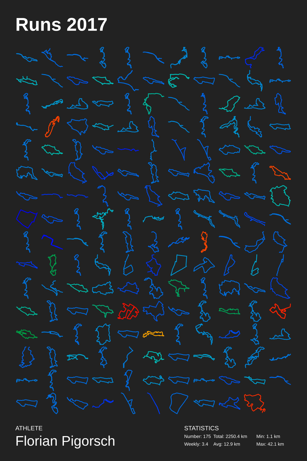
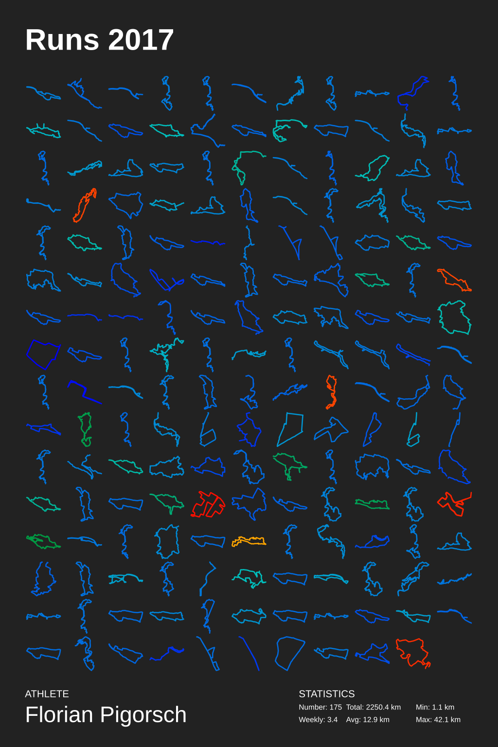
The Grid Poster layouts all tracks in a grid, starting with the earliest track in the upper left corner of the poster, continuing with the second earliest track to the left, and so on. Special tracks are drawn with the selected special color. Special distance tracks are drawn with the selected special color.
Calendar Poster (--type calendar)
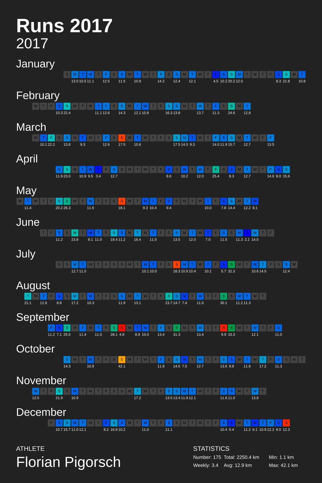
The Calendar Poster draws one square for each day, each row of squares corresponds to specific month. If a track was recorded of a day the corresponding square is colored with the track color or with the special color if the track is marked as special. A day's total track length in kilometers is printed below each square.
Circular Poster (--type circular)
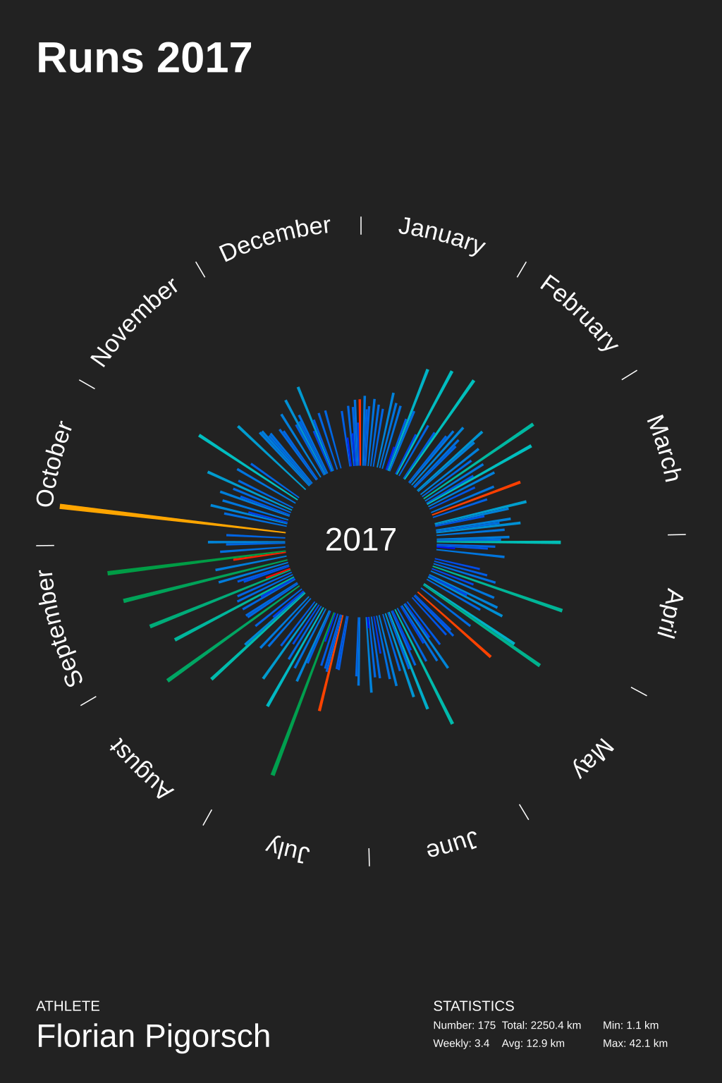
The Circular Poster the year in a circle; each day corresponds to a circle segment. The length of each segment corresponds to the total track distance of that day.
Heatmap Poster (--type heatmap)
The Heatmap Poster displays all tracks within one "map". The more often a location has been "visited" on a track, the more colorful the corresponding location is on the map. Special tracks are drawn with the special color.
Github Poster (--type github)
The Github Poster displays all tracks like github profile. Special distance are drawn with the special color.
Selection a Language
create_poster uses gettext to provide localization to other languages.
To select a different language than the default English, use the --language LANGUAGE option.
We currently support
- French (
--language fr_FR) - German (
--language de_DE) - Chinese (
--language zh_CN) - Russian (
--language ru_RU) - Finnish (
--language fi_FI)
Setup
- Clone the repository:
git clone https://github.com/flopp/GpxTrackPoster.git cd GpxTrackPoster- Create virtualenv:
virtualenv -p /usr/bin/python3 venvorpython -m venv venv - Activate virtualenv:
source venv/bin/activate - Install the package:
pip install . - Install development requirements (only if you want to contribute code!):
pip install -r requirements-dev.txt - Run
create_poster(see above) - Deactivate virtualenv:
deactivate
Contributing
If you have found a bug or have a feature request, please create a new issue. I'm always happy improve the implementation!
Or even better: clone the repo, fix the bug/implement the feature yourself, and file a pull request. Contributions are always welcome!
Important: If you want to contribute via a pull request, make sure you run make lint and possibly make format and make update-readme before pushing code.
Translation
The translation is based on GNUs 'gettext'. For the translation of the month names to work, the language must be installed.
Use locale -a to check if the language is installed.
Use locale-gen ru_RU.UTF-8 to install another language and update the locale update-locale.
Add new translation
Example:
msginit --input=gpxposter.pot --locale=de_DE --output=locale/de_DE/LC_MESSAGES/gpxposter.po
Update a translation
E.g. use Poedit or Localise Online Editor to edit the "po" files. Afterwards compile that files.
Create compiled translation file
msgfmt gpxposter.po -o gpxposter.mo
License
MIT © 2016-2021 Florian Pigorsch
