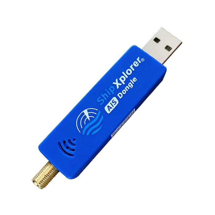
AirNav systems are a company that run radarbox.com, one of the big ADS-B aggregation tracking sites for tracking aircraft around the world. They also run a similar platform called ShipXplorer for tracking marine vessels using AIS data. The team at AirNav have provided us with a nice explanation of what AIS is and how it works. They note that they also sell a modified RTL-SDR with AIS filters and an LNA built in.
Presumably AirNav are seeking feeder volunteers for their ShipXplorer service with the submission of this post. We receive no compensation for this post and do not endorse one aggregator over another.
Below is the text from AirNav:
How Does the Automatic Identification System (AIS) Work
Introduction
Automatic Identification System (AIS) is a crucial technology used for monitoring and tracking the movements of vessels at sea. It has become an essential tool for ensuring maritime safety, security, and efficiency. In this blog post, we will explore how AIS vessel tracking works, its benefits, limitations, and future prospects.
How Does AIS Vessel Tracking Work?
AIS is an automatic tracking system that uses transceivers installed on ships to transmit vital information such as position, speed, course, name, call sign, type of ship, and destination. This data is then received by terrestrial or satellite-based AIS receivers and transmitted to various stakeholders, including shore-based authorities, other ships, and online platforms. The information is displayed in real-time, allowing users to monitor the movement of vessels with pinpoint accuracy.
There are two types of AIS messages: Class A and Class B. Class A messages are mandatory for all ships over 300 gross tons, while Class B messages are optional but recommended for smaller vessels. Class A messages have a higher transmission power and update rate than Class B messages, making them more reliable for long-range detection.
AIS operates principally on two dedicated frequencies or VHF channels: AIS 1: Works on 161.975 MHz- Channel 87B (Simplex, for the ship to ship) AIS 2: 162.025 MHz- Channel 88B (Duplex for the ship to shore), which provide a range of up to 20 nautical miles for terrestrial stations and up to 1,000 nautical miles for satellite systems. The system uses Time Division Multiple Access (TDMA) technology to avoid signal collisions and ensure seamless communication between multiple vessels and base stations.
Benefits of AIS Vessel Tracking
AIS vessel tracking offers numerous benefits, including enhanced safety, improved operational efficiency, and better decision-making capabilities. Some of these benefits include:
- Improved Collision Avoidance
By providing accurate information about a vessel's location, speed, and direction, AIS helps prevent collisions and reduces the risk of accidents. Ships can use this information to maintain safe distances from each other and navigate crowded waterways safely. - Increased Efficiency
AIS enables ships to optimize their routes and fuel consumption, leading to increased efficiency and cost savings. By sharing their positions and intentions, vessels can coordinate their movements and avoid wasting time and resources on unnecessary maneuvers. - Enhanced Search and Rescue Operations
In case of emergencies, AIS provides critical information that helps search and rescue teams locate and assist distressed vessels quickly. The real-time data provided by AIS allows responders to make informed decisions and allocate resources effectively. - Better Decision Making
AIS data can be integrated with other systems, such as weather forecasting tools, to help shipping companies make informed decisions about their operations. For example, they can adjust their schedules based on predicted weather conditions or reroute their vessels to avoid congested areas.
Limitations of AIS Vessel Tracking
While AIS vessel tracking is a powerful tool, it does have some limitations. These include:
- Limited Coverage
Although AIS signals can travel up to 20 nautical miles via terrestrial stations, this coverage may not be sufficient in remote or offshore areas where there are no base stations. Satellite-based AIS systems address this limitation but come at a higher cost. - Potential Security Risks
Since AIS transmissions are unencrypted, there is a potential risk of interception and misuse by malicious actors. However, measures such as frequency hopping and encryption can mitigate these risks.
Future Prospects of AIS Vessel Tracking
As technology advances, AIS vessel tracking is expected to evolve and offer even greater benefits.
- Integration with Autonomous Shipping
Autonomous ships rely heavily on sensor data for navigation and collision avoidance. AIS integration with autonomous shipping systems could enhance situational awareness and improve overall safety. - Real-Time Cargo Monitoring
AIS could be used to track individual cargo containers in real-time, enabling logistics companies to monitor their shipments more accurately and efficiently. - Environmental Monitoring
AIS-equipped vessels could collect environmental data, such as water temperature, salinity, and pollution levels, helping researchers and policymakers better understand and manage marine ecosystems.
Conclusion
AIS vessel tracking is an indispensable tool for enhancing maritime safety, security, and efficiency. While it has some limitations, advancements in technology continue to expand its capabilities and applications. As shipping becomes increasingly digitalized, AIS will remain a cornerstone of maritime communications and surveillance.